Services
Consultancy
Orbit Surveys consultancy division empowers clients with comprehensive Cadastral and engineering survey services, urban planning, environmental management, and agriculture solutions. By leveraging advanced geospatial technologies and expert insights, which helps clients conceptualize and make informed decisions on projects.
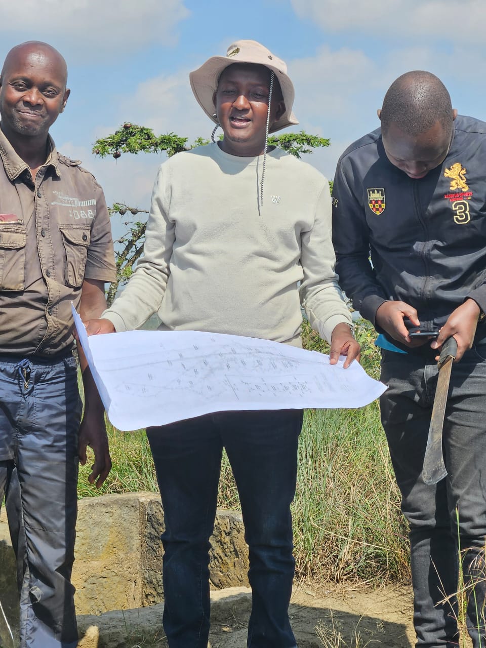
General Boundary Survey
At Orbit Surveys we provide”general boundaries surveys” ie surveys for land parcels based on physical features, landmarks, and other recognizable natural or artificial markers. General boundaries are often determined by the general understanding and agreement of neighboring landowners regarding the extent of their land.
Cadastral Survey
At Orbit Surveys we provide Cadastral surveys that is measurements of property boundaries for legal ownership. Which involves boundary marking, land subdivision, preparing survey plans for registration, verifying title deeds, and resolving boundary disputes.

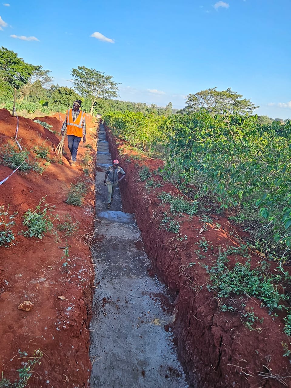
Engineering Survey
At Orbit Surveys we provide Engineering survey solutions by delivering precise data for designing and constructing infrastructure, including mapping, setting out points, and monitoring structures for accurate project execution.
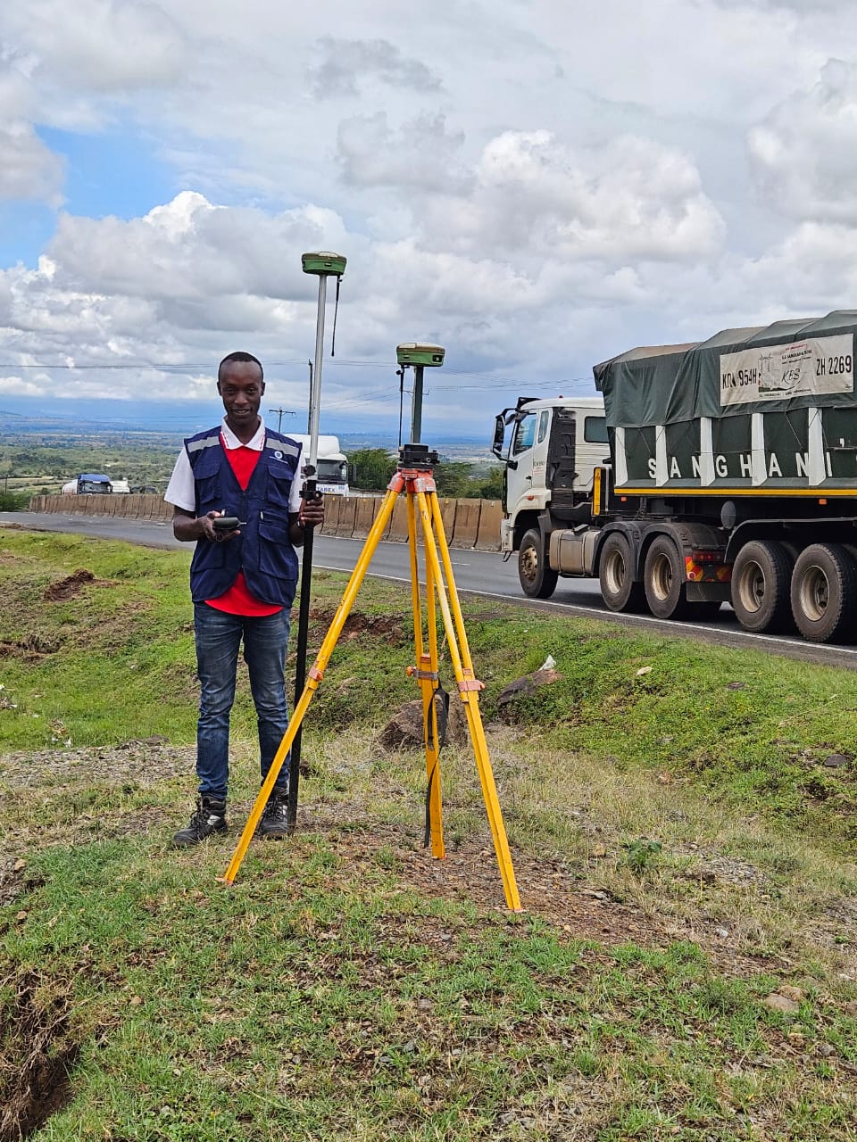
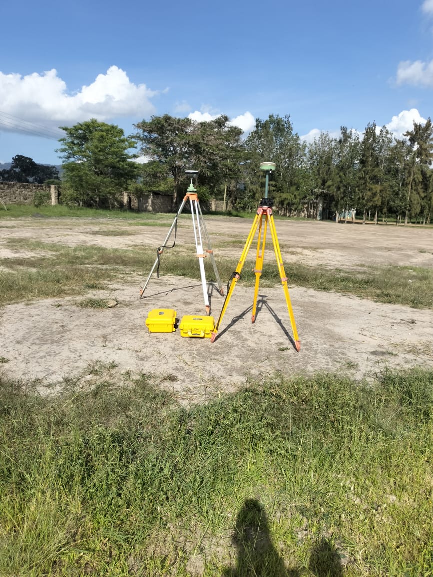
Topographical Survey
Orbit Surveys provide mapping of natural and man-made features of a land area, capturing elevation changes, contours, vegetation, and structures. Conducted using tools like GPS, Total station, and drones, it supports construction and land development projects.

Sectional Properties Survey
Orbit Surveys facilitates the subdivision of a larger piece of land into smaller, individually titled parcels or units, such as those found in apartment complexes or commercial developments. This survey determines the precise boundaries, dimensions, and layout of each section, ensuring each unit holder have their titles. Orbit Suveys conduct these surveys, producing detailed plans and documentation necessary for property registration and ownership transfer, facilitating efficient property management and development.

Land Conveyance
Orbit Surveys assist in undertaking the registration process of transferring property ownership from one party to another. This service involves conducting due diligence and facilitating the registration of the transfer with the relevant land authorities ensuring compliance with land laws and regulations, and providing clients with guidance throughout the transaction to secure clear and marketable title to the property.
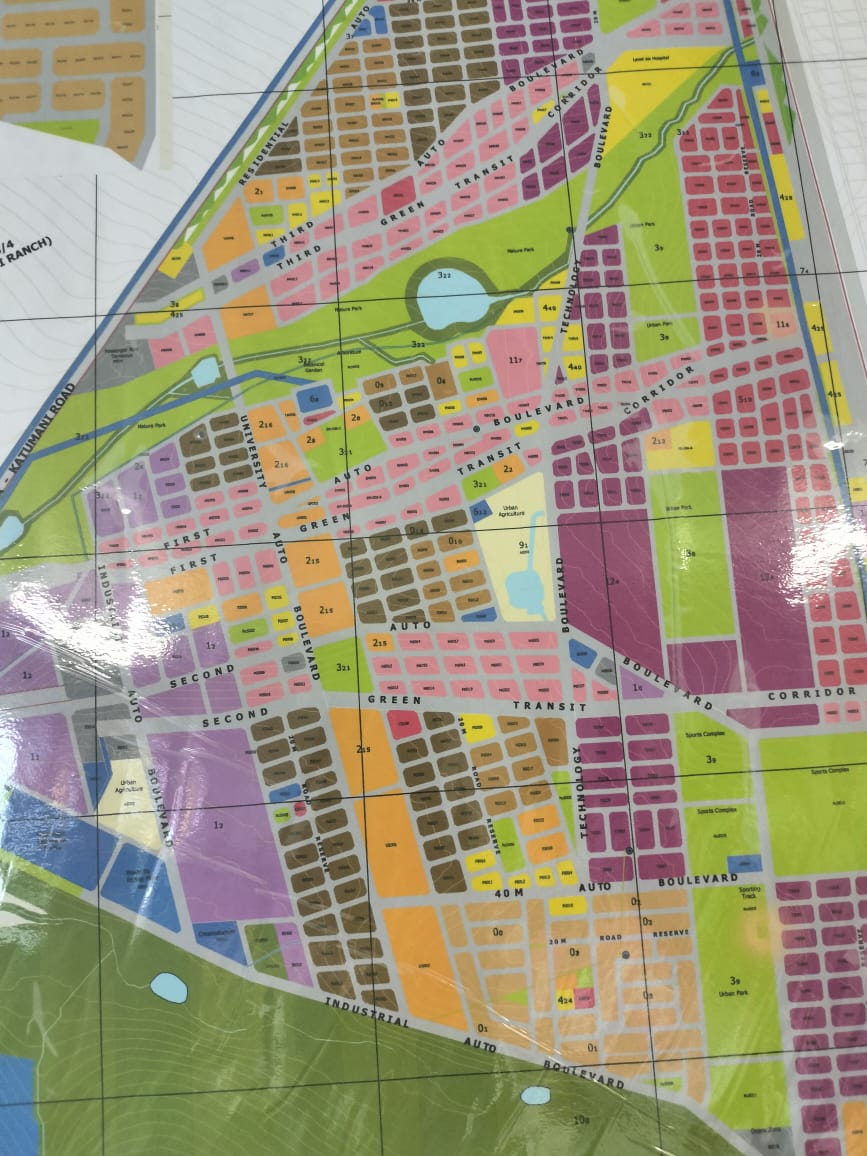
Physical Planning
Orbit Surveys provides strategic management and development of land use to ensure sustainable growth and urbanization. This service includes analyzing land suitability, preparing land-use plans, and observing zoning regulations that guide development projects.
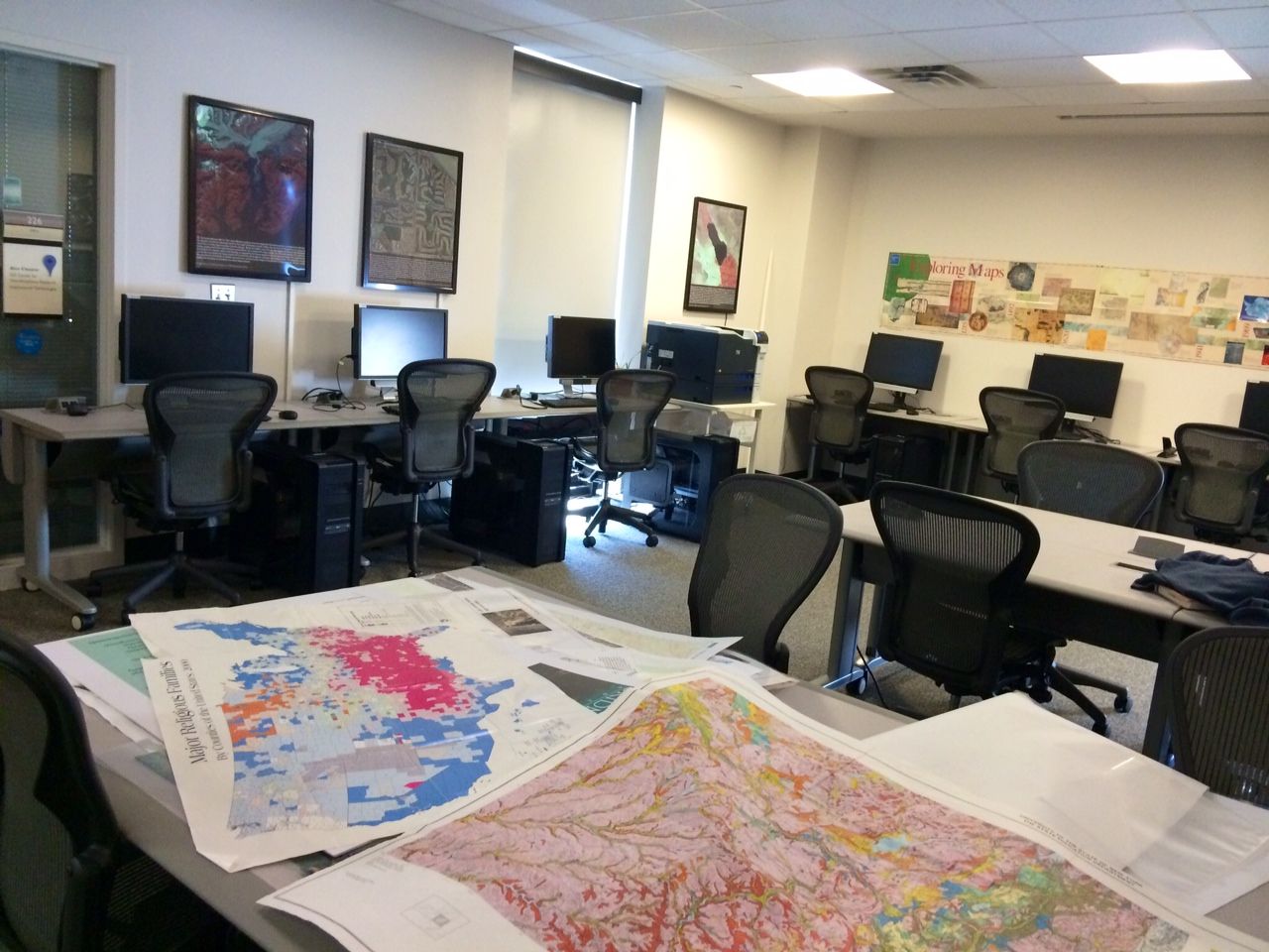
Geographic Information System (G.I.S)
Orbit Surveys has a G.I.S lab that captures, analyzes, and presents spatial or geographic data. This service involves using GIS software to create detailed maps and models that assist in decision-making across various sectors, including urban planning, agriculture, environmental management, and transportation. GIS allows for the visualization of data related to land use, natural resources, and infrastructure, enabling stakeholders to identify trends, optimize resource allocation, and enhance planning processes.
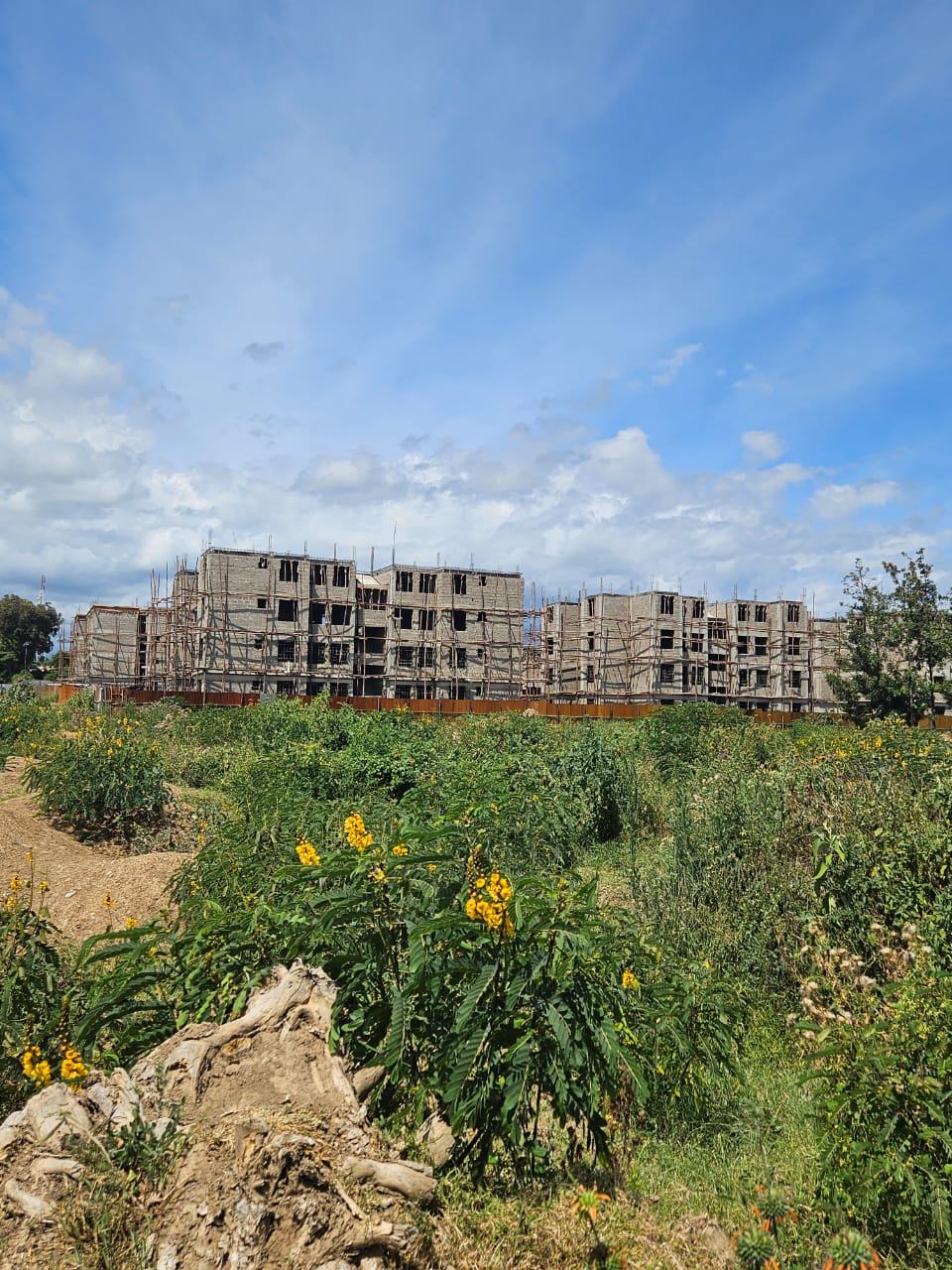
Environmental Impact Assessment (E.I.A)
At Orbit Surveys, we undertake Environmental Impact Assessment (EIA) I,e evaluating the potential environmental effects of proposed development projects before its approval, aiming to identify, predict, and mitigate any adverse impacts on the environment and communities.
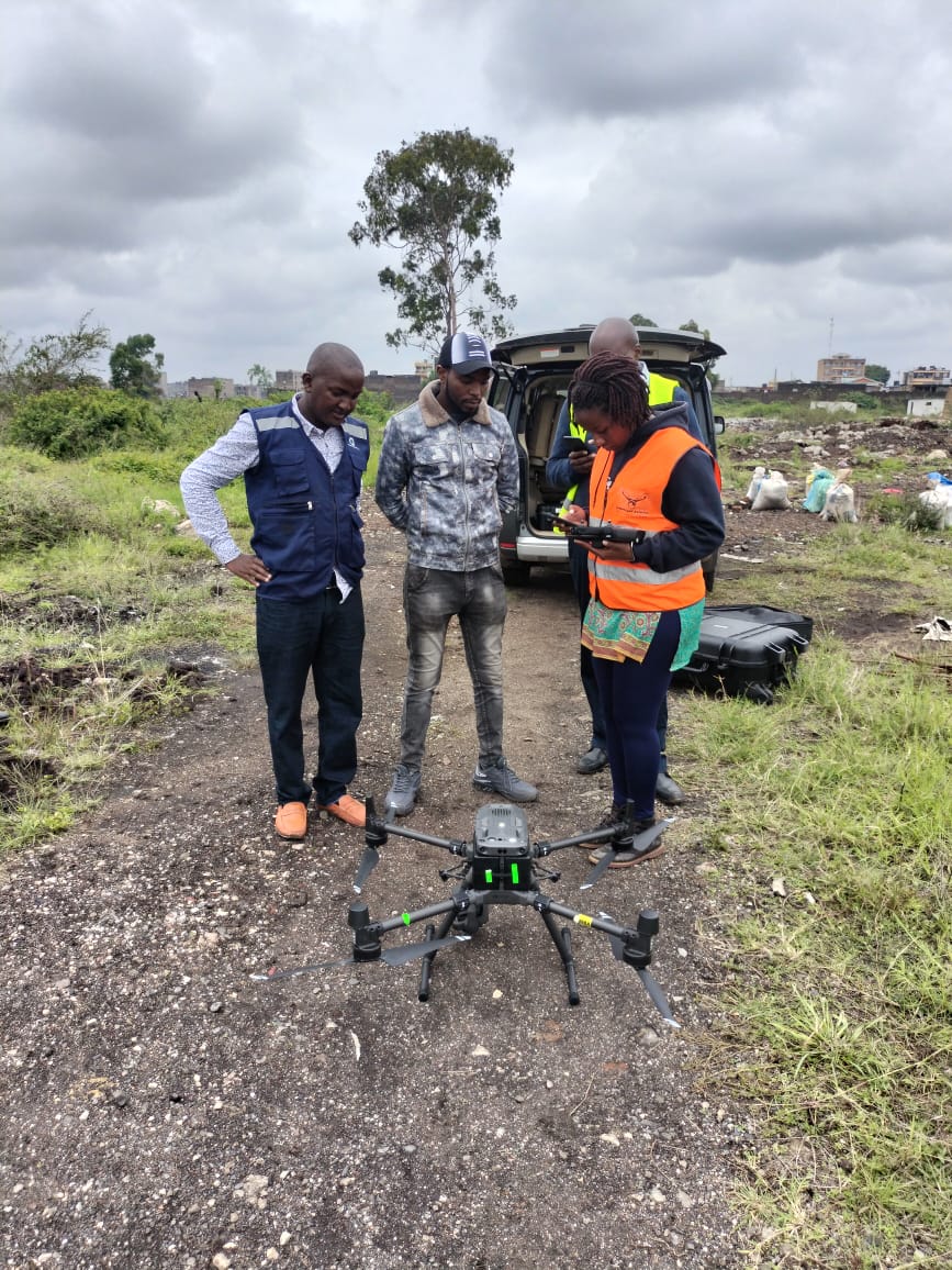
Drone Surveying Services
Orbit Surveys utilize advanced drone technology to conduct aerial surveys, capturing high-resolution images and data for various applications such as land mapping, topographical analysis, and construction monitoring. These services provide accurate, efficient, and cost-effective solutions for surveying large areas, enabling clients to make informed decisions based on precise data.